

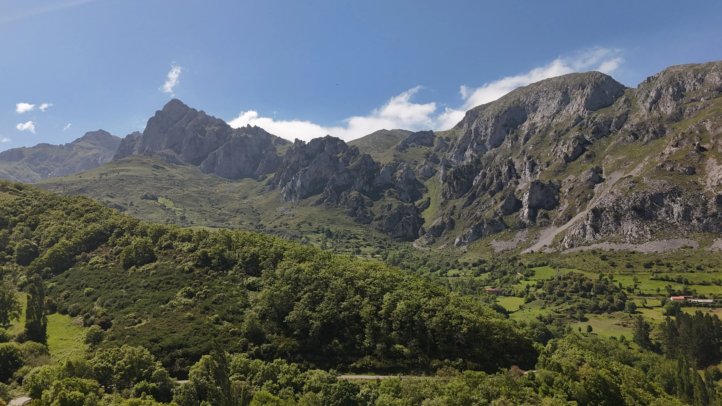
Opportunity Assessment
Before you commit to a rural property in Northern Spain, we help you decide whether it deserves further time, specialist work and capital.
The Opportunity Assessment is our focused first engagement. It begins with one identified property and one agreed intended use—such as a home, restoration, hospitality project or long-term investment.
We review the available property information, spatial context, access, water, buildings, planning questions, market context, climate and fit with your brief. We then show what may be possible, what remains unverified and what should happen next.
It is an independent decision aid, not a sales recommendation, technical survey, valuation or legal opinion.
When an Assessment Is Useful
-
You want an early, independent view of the place before making a financial or emotional commitment.
-
You need to understand the property’s constraints, restoration potential and most sensible next investigations.
-
You want a consistent landscape-led framework for comparing options that may look very different on paper.
-
You need an early view of how buildings, terrain, access, ecology and stewardship might work together.
-
You want to define the right questions and sequence before committing to a larger design or development engagement.
What We Examine
A focused review considers the property in context—not only the building. We look at landscape and terrain; access, orientation and infrastructure; existing structures and restoration potential; planning and due-diligence questions; and the fit between the place and your long-term ambitions.
-
We consider orientation, slopes, water, vegetation, exposure and the property’s relationship to the wider landscape.
-
We review practical access, roads, utilities and the infrastructure questions that may shape feasibility.
-
We examine existing structures, spatial character and the questions that influence a sensitive restoration pathway.
-
We identify planning, survey, legal and technical questions that should be resolved by the appropriate local professionals.
From site evidence to a next-step decision.
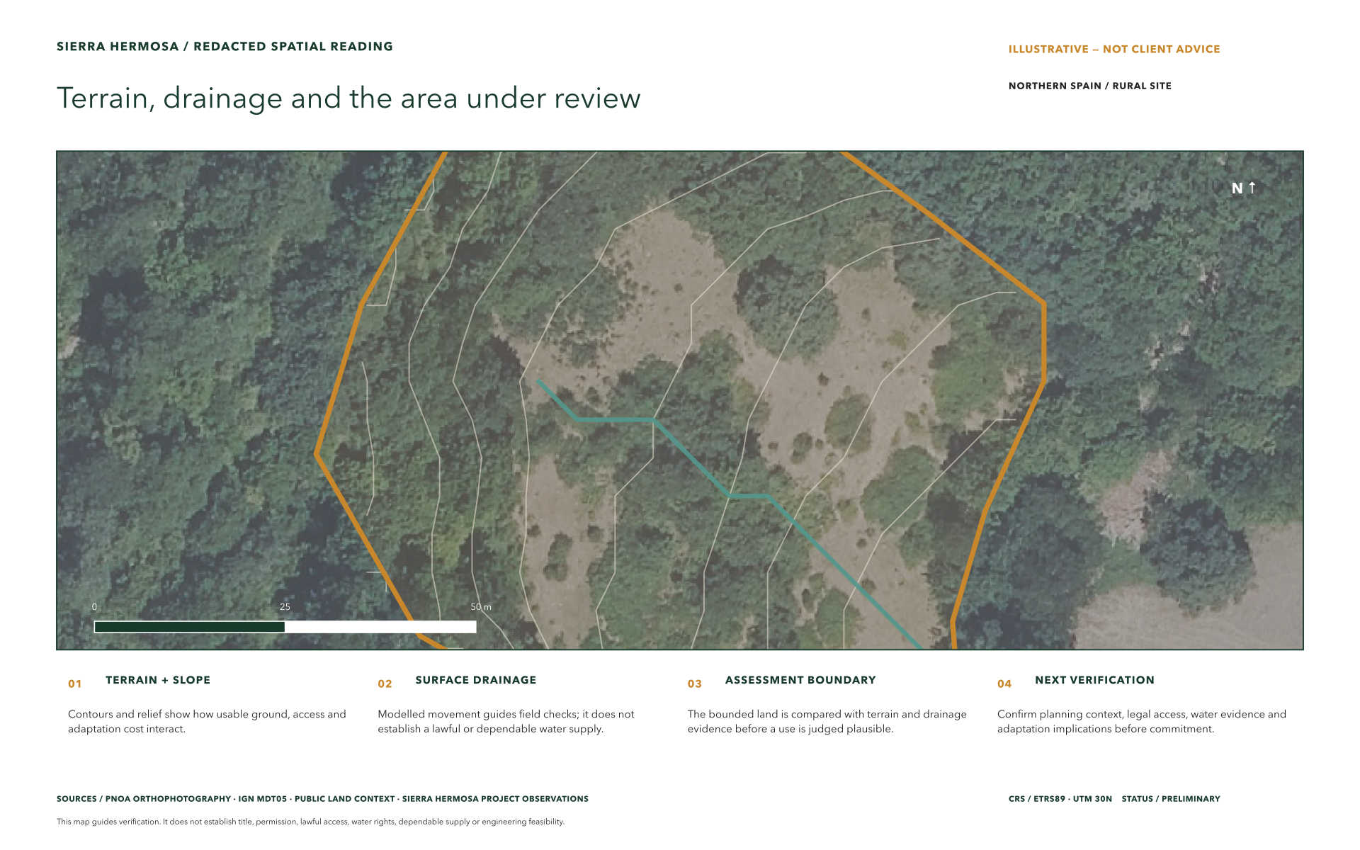
We assemble the spatial and documentary evidence that matters to the intended use. The assessment records what is supported, what remains uncertain and what must be verified before further commitment.
The first engagement, clearly defined.
One property. One intended use. One decision to inform.
You receive a written assessment, evidence record, relevant spatial mapping, clear recommendation, material unknowns and a founder-led review conversation.
Before work begins, we confirm the fixed fee, delivery schedule, evidence dependencies and exclusions. Timing begins when the agreed records are available. Site visits and formal legal, planning, valuation, survey, engineering or specialist opinions are separate unless included; findings that depend on them remain provisional until verified.
The assessment ends with an ordered next step: stop, compare, verify or commission a separately scoped phase. If authorised, evidence requests, obligations, specialist questions and completion status are coordinated in a managed workflow powered by Cordillera.
-
No. The assessment can help clarify a region, brief or shortlist before you commit to a specific property.
-
No. It is an early strategic assessment that identifies opportunities, risks and the questions that qualified local specialists should investigate.
-
Yes. A comparative scope can apply the same landscape-led criteria to a shortlist, making trade-offs easier to see.
-
A location or listing, available plans and photographs, relevant documents, your priorities, timing and the decision you are trying to make.
-
We review the findings together and define sensible next actions. There is no obligation to continue into a larger engagement.
-
We confirm them in writing before work begins, based on the property, available information, travel requirements and any specialist coordination needed.
The Assessment Path
Step One
Initial Conversation
We clarify your aims, the property or region under consideration, the stage you have reached and the decision the assessment needs to inform.
Step Two
Information Review
We review the available listing, plans, photographs, location information and relevant documents, identifying gaps that may require specialist input.
Step Three
Landscape-Led Assessment
We consider the property, buildings and wider landscape together—surfacing meaningful opportunities, constraints and questions before commitment.
Step Four
Findings and Next Steps
We present the findings, discuss priorities and agree the next sensible action: stop, compare, verify or commission a separately scoped next phase. When further work is authorised, evidence requests, obligations, specialist questions and completion status become part of the managed record powered by Cordillera.